If you remember my part 1 and 2 of the North River over 100 years ago was of “The Story Teller” Walter Crossley’s stories published in the Marshfield Mariner in the early ’70’s.
My writings are verbatim.
He was traveling east, down river, and in Part 2 , we left off at the Two Mile Creek. (once known as Full Mill Creek). This Creek/Stream once operated four mills in the Two Mile area ( once part of Scituate, ) . This Stream flows under Union St between #’s 385 & #415. It then becomes a man- made- pond that supplied a head of water to power the Hatch Mills.
Now lets get back to the river along with Walter Crossley’s observations.
ON THE RIVER

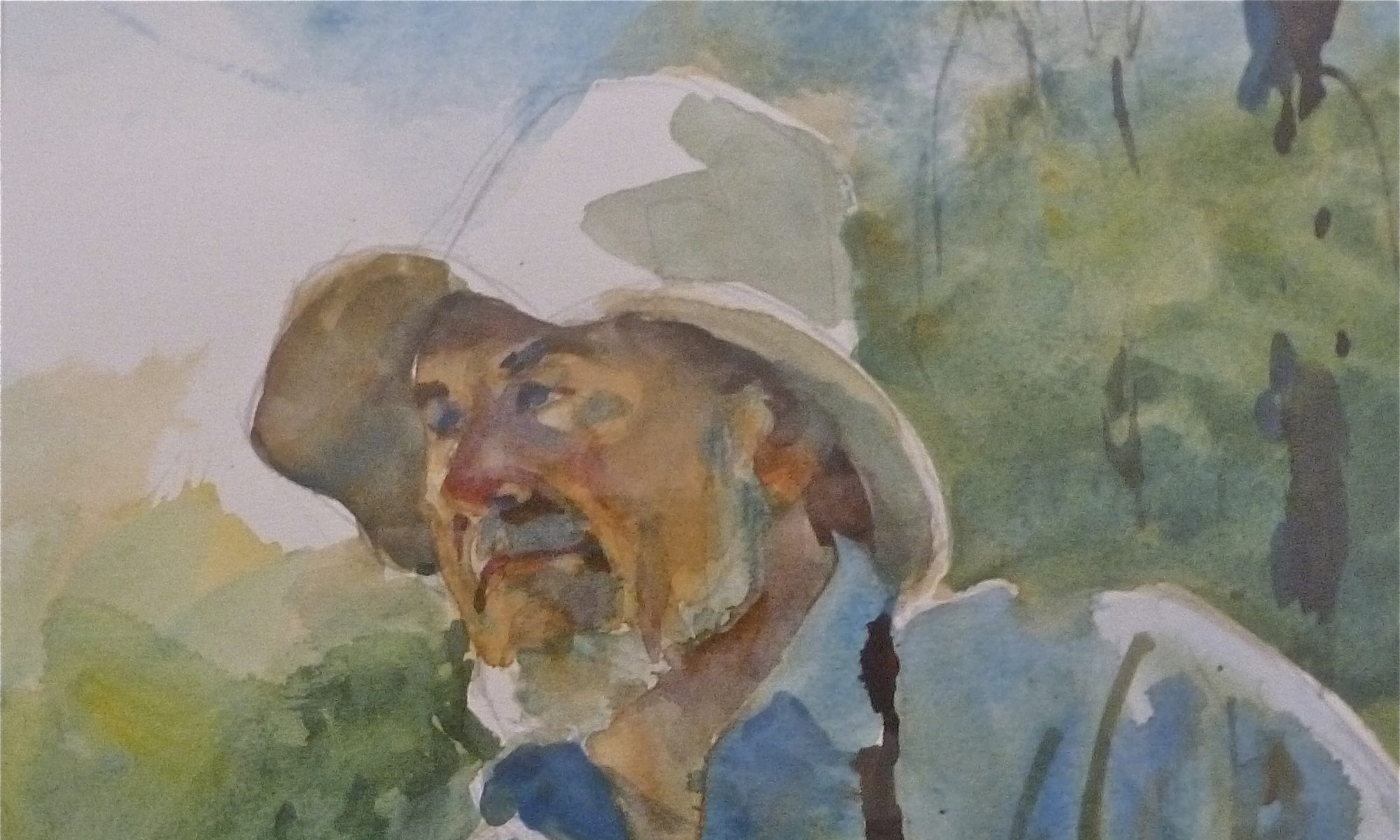
The remains of a seine.
“Colonel Oakman’s seine house was along here and somewhere around here was a spot known as the whirlpools. I remember them as a series of strong eddies and swirling currents. They made for a disturbed stretch of water for perhaps 100 yards. The whirlpool condition occurred only at the ebb tide and with the row boats and small-powered motor boats of the time, it presented a hazard. I believe this phenomenon ceased some years ago, probably because of erosion. My cousin,Charles Crossley of Water St. took striped bass regularly every spring for many years.”
OSPREY NEST
“The last, in fact, the only Osprey nest I ever saw on the river marshes was on a large dead Pine on the Norwell side of the river. The nest was used for many years, and it was added to and grew every spring. It was destroyed when the pine fell during a winter storm”

Osprey nest.
“Ed Cliff’s wood lot and a girl scout camp ( Wy-Sibo) the last time I went by.”

My painting of Wy-Sibo Camp, as I remember, in the early 50’s. ![]()
There were also a couple of islands in the marsh which were then known as Onion and potato Islands. These were favorite picnic and blueberry stops. Onion was the larger and usually had cattle pastured on it. I remember one picnic lunch that was interrupted by a bull, naturally, everyone ran for the boat, but upon looking back my father was on all fours bellowing at the intruder. This was a new experience to the animal and after a spirited exchange of pawing the ground and roaring he backed down and grumbled off on his way.”

“Further down the river was Cornhill Lane, then known as the Gravely Beach farm house, on the Marshfield side”.

“Chittenden Creek flowed from the Norwell side.”

The Helen M. Foster readying for launch, 1871. The Last ship to be built here.

“I should have mentioned the shrine and pavilion of the Stetson kindred a short distance upstream from here.”
The Stetson Farm, Norwell, overlooking the North River.

“Now we are at a stretch known as Rocky Reach and since this area requires a fairly detailed description, it created a nuisance at best, a hazard at worst. I understood that the shipbuilders upstream had serious difficulties in getting new ships through. These ships were neither rigged or ballasted. Towed down river by small boats, oxen or by plain manpower, they were dragged over the rocks and sometimes several high tides were required to get them through.”

A RAPIDS?
” I am not a geologist, but it seems to me that at some prehistoric time there must have existed a rapids at this point, possibly a small falls as well where a ledge extends across the bed of the present river, I can visualize a long narrow river and a shallow salt water bay in the area now occupied by salt marsh. What are now islands or simply high spots in the marsh could well have been gravelly islands in a lake or bay. In the course of thousands of years, sediment filled in the bays and the hills eroded, the rapids or falls faded away. ”
“As for the reach itself, it presented an ugly appearance at half tide. Rocks-some flat, others sharp and others rounded-were visible above the water line. swirls and ripples pointed the way to many more just below the surface. Some of these rocks were too close together for a boat to pass. And at the lower level of the reach ( in the so-called narrows) there was a noticeable difference in the water level , at least a foot on a strong tide. This point seems to have been, and still is the dividing line between salt and fresh water. above this point were vegetation, sediments and debris indicating fresh water. Below here was a typical salt marsh.”
“Due to the tidal difference in time, we almost invariably reached the danger zone at the full strength of the tide. Incoming was not so bad. But to see an ebb tide with rocks showing and the water a collar of foam swirls was not a reassuring sight. With our boats those day you had to go through once you committed yourself , there was no stopping, no turning back. If the engine wheezed and slowed, steerage was lost . Many of propeller was bent here, many of rudder un-hung and, sometimes a hull was damaged. A lot of trips ended at Rock reach resulting in a long tedious wait for the turn of the tide or for a tow home.”
Just below the reach, at the narrows on the Norwell side, was a spring which served as a place to fill water jugs, I believe this was called Henderson’s.
I think in about 1910 or 1912, some of the river towns cooperated in a rock removal project. A floating crane was brought in and a diver (hard hat, air pump variety) would go down and place chains around the rocks and wait until they were hauled up and swung onto the banks by the crane. Obstructions were removed in several places, principally along Rocky reach as far upstream as the old Hanover bridge.”
“There was no dredging , just rock removal.”
“I remember being taken aboard the crane by my father and watching the process with a great deal of interest. I can also remember the difficulties of getting our boats under or around the cables that were used to secure the apparatus in place. All these things looked immense to me then. ”
“There was a sudden drop at the end of the reach and the removal of the rocks from here removed most of the danger to the boats. Now, except at low tide, there is little danger. But there are a few rocks in the area , I know, i speak from experience!”
UNION ST. BRIDGE

Looking at Marshfield ‘s Union St. from Norwell’s Bridge St.
Next, Part 4, will cover more of the boats of Walter’s time plying this part of the North River.
I will continue to bring you Walter Crossley’s ( The Story Teller) remembrances as my time permits. With winter not far away, they will be published more often.
W. Ray Freden, Marshfield 70 years.
Thanks Ray for again bringing Walter Crossely’s memoirs to light. I have found his reflections and recollections a wonderful primary source for historical research regarding life in the North River Valley in the late 19th and early 20th centuries.
Paul F. McCarthy