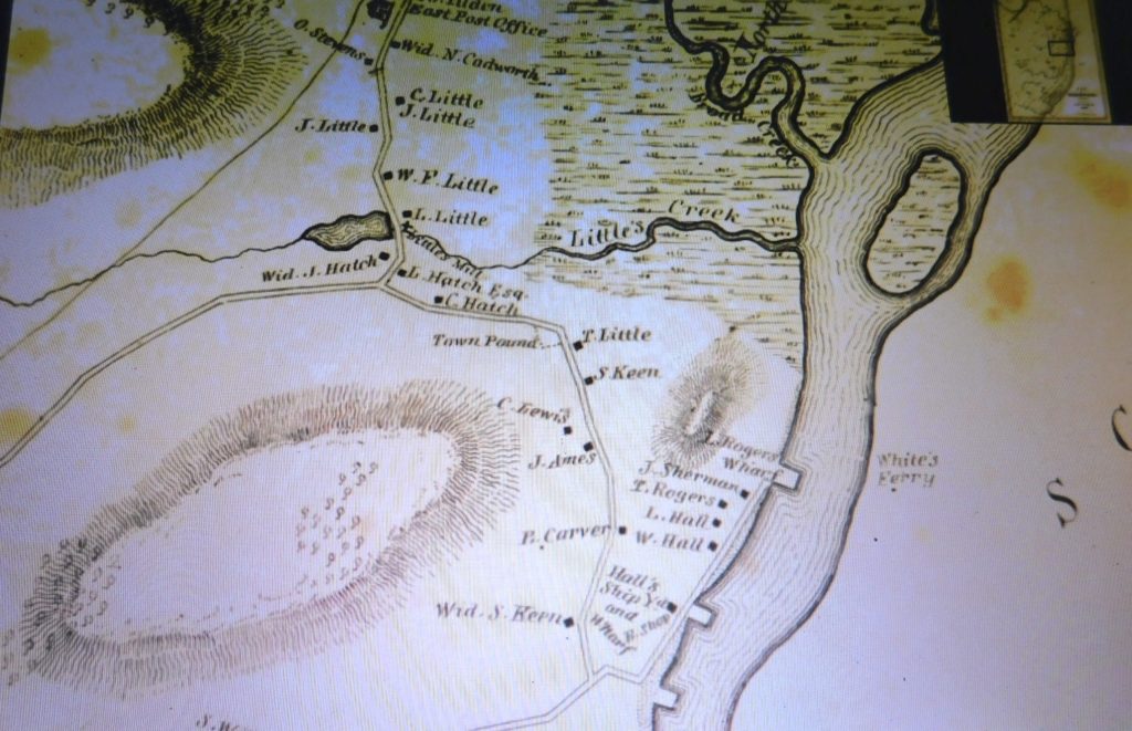
From top to bottom, Between Broad Creek and Little’s Creek, a staging/mooring area for awaiting ships, was Pincin’s Bank. Then Rogers Wharf, the Ferry’s home, with a landing across the river to the Hummock’s. Next, J. Sherman, #1308, Ferry St. still exists. T. Rogers, Shipbuilder, no longer exists. L. Hall, the North River House, no longer exists. W. Hall, site of the Bridgwaye Inn, next was Hall’s Shipyard and Wharf, & Blacksmith Shop. The unmarked Wharf was The Keene’s Yard, at the junction of The Ferry Rd. & Elm St.
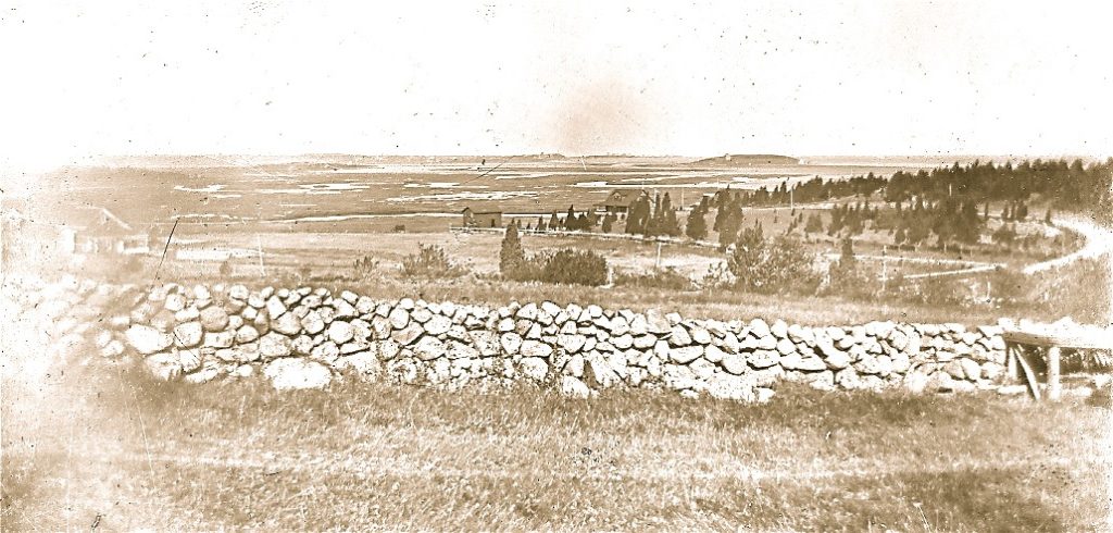
Looking northwest from the Hummocks (Humarock) to Ferry Hill.
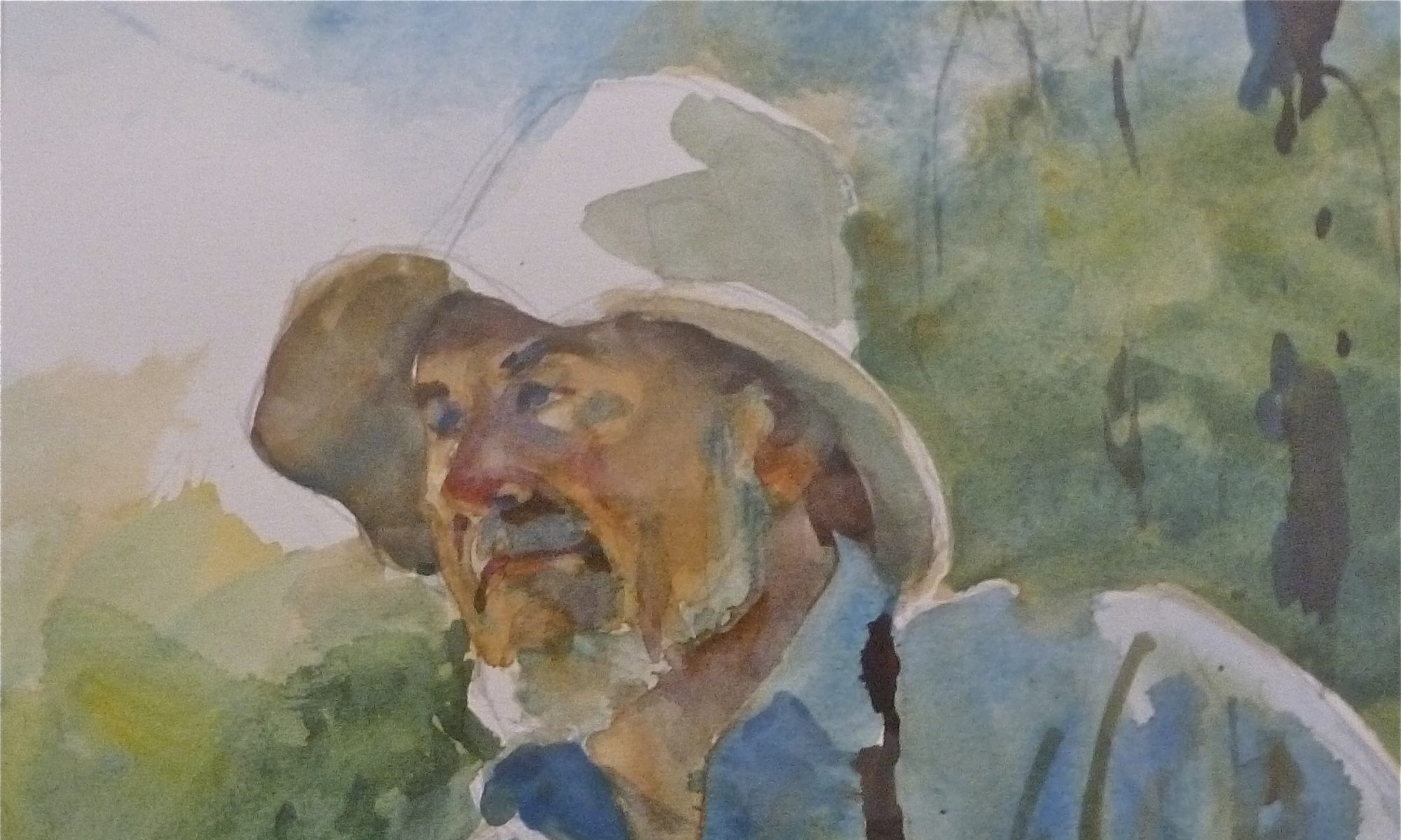
 The Roger’s Wharf & Ferry Landing.
 Looking from Humarock, northwest. Left: William Hall residence, now the site of the Bridgewaye Inn. Center: the Luke Hall residence, The North River House. Right: the Rogers Shipyard & Wharf. Also, the Ferry Landing. From Cynthia Hager Krusell’s book.
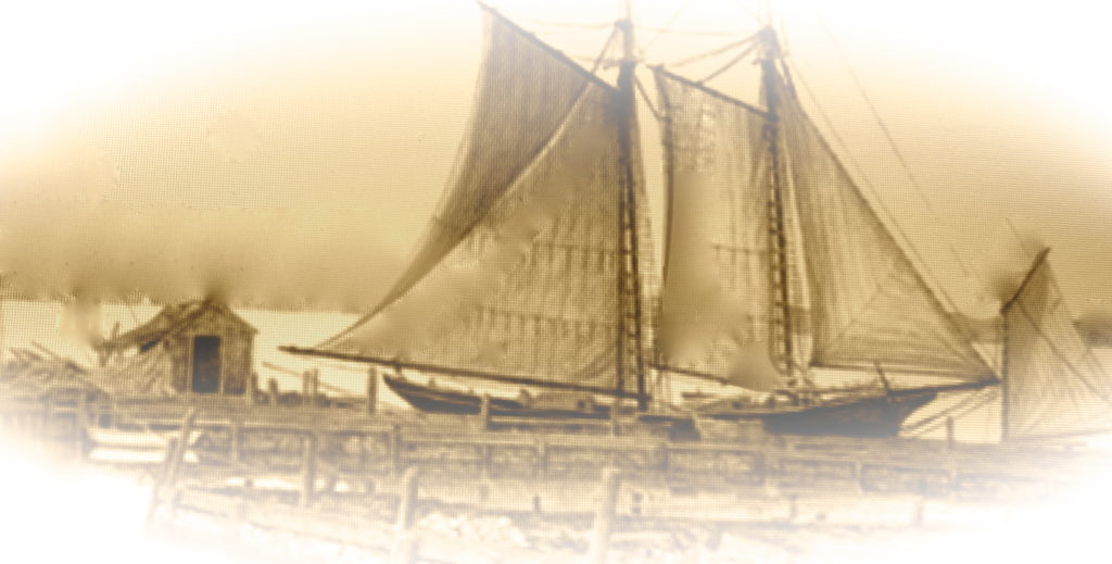
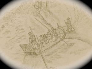
A finished rigged Schooner leaving the Rogers Yard for it’s maiden voyage.
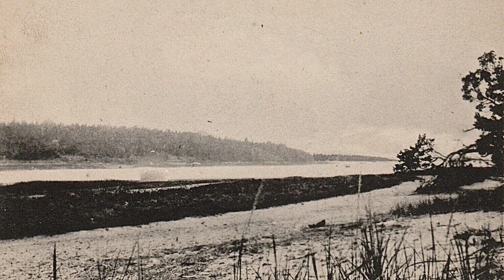
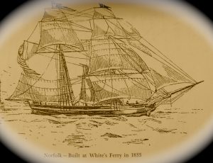 The “Norfolk” Built at Whites Ferry.
The earliest record for a shipyard at the White’s Ferry area, was 1705. This yard, Keene’s, harvested timber from Ferry Hill, as well as Holly Hill, Carolina Hill and Centre Marshfield. It didn’t take long to turn these areas into grazing land for cattle.
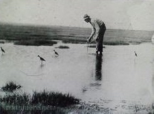 A shorebird hunter placing his decoys in Little’s Creek bordering the North of Ferry Hill.
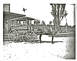
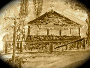
A horse & wagon dropping off visitors & goods at the Sea View Station
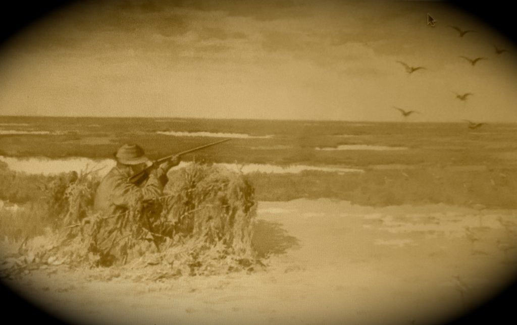
The local taverns, (Ye Surprise Inn), now (The Bridgewaye Inn) and guest houses were also on the market-gunners’ list for a bushel or more of “Peeps” and ” Snipe” to make a stew or pie for their guests.
Blinds were forced to move & began to lessen. In 1918, a law was put on shorebirds and waterfowl hunting which became controlled. Shorebirds were illegal to hunt and waterfowl now had designated seasons with a kill limit.
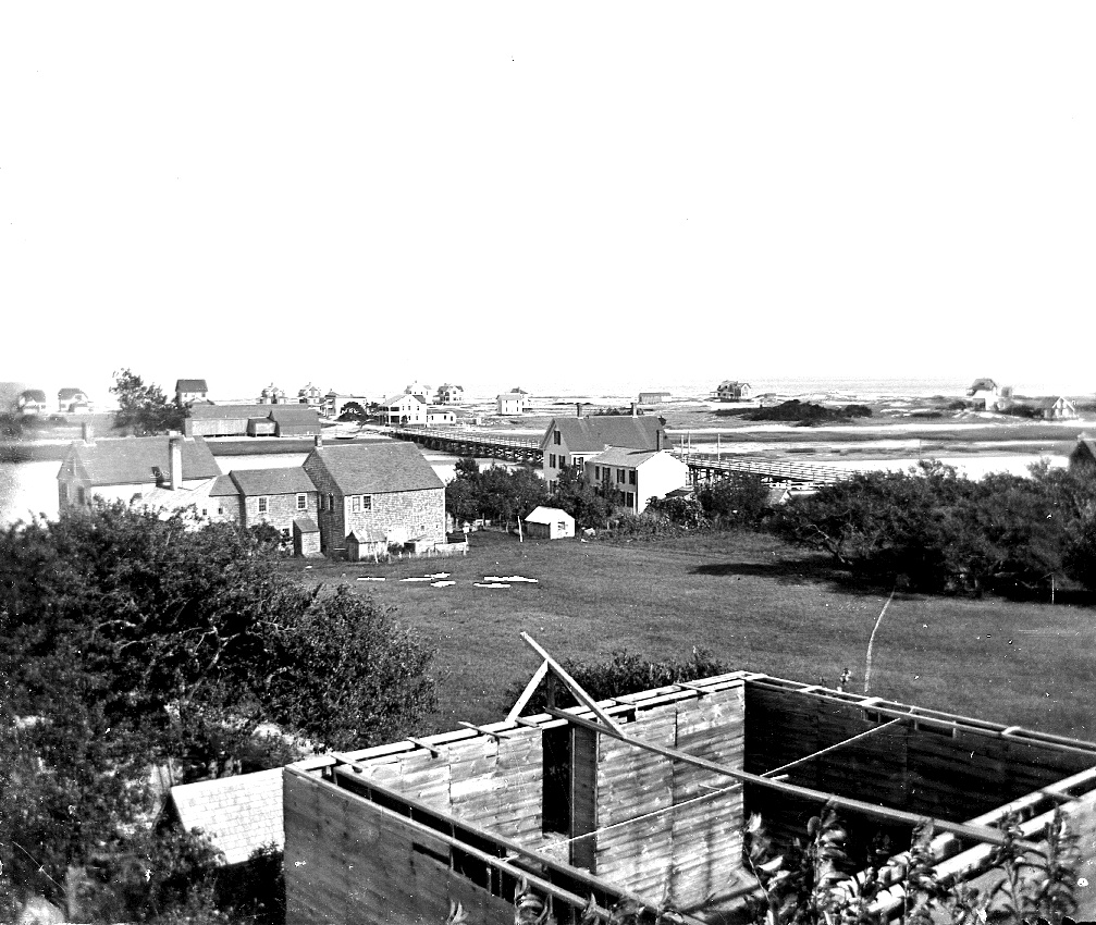
Looking northeast, overlooking the “New Marsh”. Left, Victor Belanger’s cattle barn, Center, his boat house, George Ireland’s Club House, and Fourth Cliff in the distance. On the right is Ferry Hill Rd, joining Grandview Ave. Red Cedar trees now dominate the Hill… c.1860.
George Ireland , a businessman and land-developer, bought-up all the available land and laid out a plan of roads and lots in 1888.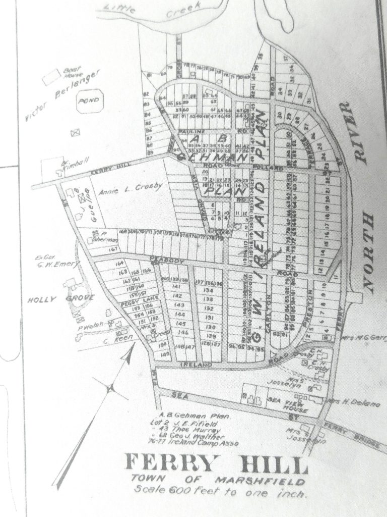
Note; the bridge to Humarock was called the Ferry Bridge and built in 1881-82. The now Bridgewaye Inn was the Sea View House. The North River Beverage was the Josselyn’s stables. The remains of the Rogers Wharf and Shipyard/ Whites Ferry show here. Shipyards and the building of sailing ships now disappeared in the late 1800’s. The last Ship built on the North River was 1871.
These small lots were geared for tents and camps for George Ireland’s city friends and cronies. Summer weekends attracted droves of campers from 30 to 50 miles away. 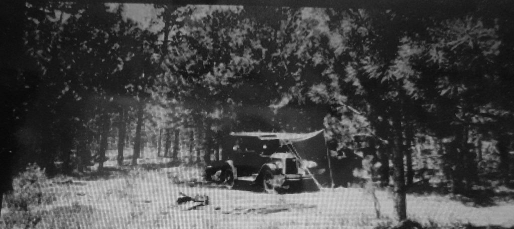
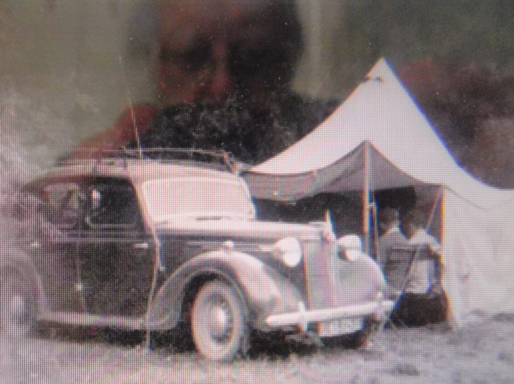
An early 30’s camper
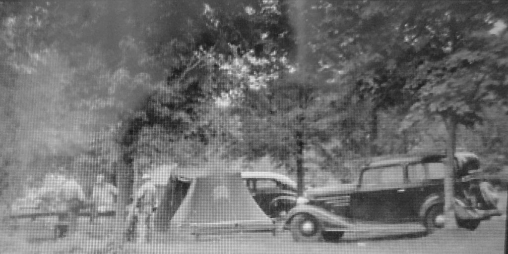
Mid 30’s.

Then came the platform tents.
Lunch time.
 Early camps used cheap boarding from a local mill.
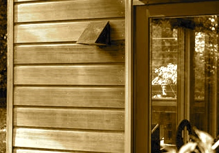
Followed by the popular novelty siding.
The Ferry Hill’s development was slowed down by the Great Depression with a short break of three years…..then stopped completely by WW ll for nearly 5 years. It was then slow to get building materials.
In the mid-20’s the Crosby Water Co. built a pumping station and water storage tank on Ferry Hill. Wells were established in the area, now known as The Thicket….a wetland area with springs. This was developed to service Sea View and Humarock….the greatest demand coming from Humarock. Public water suppliers were replacing outdated and contaminated private wells. Water lines were now found on most of the main roads in Marshfield. By 1930 Ferry Hill was covered with a hundred homes or more. Due to insufficient wastewater management, the wells became polluted and the Crosby
Water Co. shut down in 1946.
paintings by W. R. Freden.
Top: The water storage tank on Ireland Rd. opposite Carlton Rd.
Bottom: The pumping house in the Thicket.
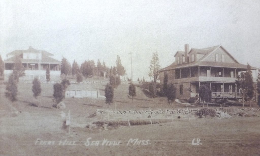
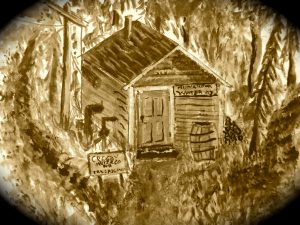
 Just off Ireland Rd., an ice house was in construction to store ice for the demands of the Seaview Inn (center), today’s Bridgwaye Inn. c.1910, Left is the North River house.
Building-laws were creeping in and being enforced along with permits.
Tents disappeared, shacks were removed, building-lots became larger by adding adjoining-lots……allowing larger homes to be built.
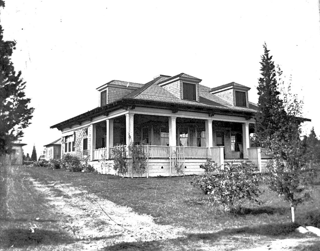
A stately home at 51 Carlton Rd. Built in 1903.
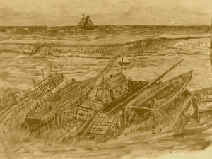
The residents and shipyard workers watched history developing every day of the year for 200 plus years. Over 1000 ships were rigged and outfitted with supplies and goods at the Whites Ferry Yards.
There are too many Ships to list here, but the “Columbia” was the first ship to circumnavigate the Globe and the “Beaver” was involved in the Boston Tea Party.
This little community of East Marshfield, Little Town, Sea View contributed to history that has touched our entire country and beyond.
And today it is barely recognized by any of the above names. Today, one rusty sign marks the general location of Whites Ferry. The Village of Seaview is nearly lost , an insult to it’s history by the lack of recognition. There are three roads leading into Seaview. None have a sign stating ” WELCOME TO SEAVIEW, ” a village of shipbuilding.
W. Ray Freden Seaview/ Marshfield 70 years.
Great post! Those images really bring the past alive.
I think where the house was built to store ice, must have eventually been into a well. There was a dried up well in the ’70’s that many kids, including myself, visited. My father (James Taylor, Stenbeck and Taylor Civil Engineers in Marshfield since 1951, (with civil engineering experience in Marshfield, from the ’40’s) told me that where I live on Pleasant, as well as Deer Hill (where my Dad built the second house after Seager Farm), and some of Summer Street are technically Seaview.
You got the Seaview right Pam, The ice house was about 2-3 hundred feet east of the well, the ice house came first, c. 1910 and finally succumbed to rot as all of them did. The well foundation was still there well into the 1980’s.
Well done, Ray. Joseph Foster Merritt’s book Anecdotes of the North River and South Shore mentions the Fourth Cliff House on the Fourth Cliff filled with gunners for several weeks in the season when the shore birds came. Will Thomes and his father bought a lot on Central Ave. a few houses on the river side from the gates into the Air Force recreation area. Will said that he and his father bought the lot in the early 1940s and dug out the foundation by hand. While digging the foundation, they found a lot of broken items from the Fourth Cliff house, which they kept. He and his father thought that their house was the dump for the Fourth Cliff house. After Will’s death all evidence of these items disappeared. Another loss to history. Keep up the good work of your remembrances.
Fred
So very interesting to have this info, Ray especially since our first home in Marshfield was on Carlton Road, Ferry Hill. Thank you!
Are there any pictures of the sloop Mary and Abigail? I’ve been searching online but can’t find a picture. Thanks! I love your website.
Thank you.
When i am asked where I live I say “Seaview.” No clue. I say off Summer St going on to explain the village as was known as Little Town now Seaview still no clue.
Even those, other than certain generational residents who reside in this village have no clue to the rich history held.
Maybe someday a new generation member of the village will come to appreciate it’s rich history and pursue the towns Historical Society for the noteriaty it so deserves.
Thank you for your preservation via your blog.
Thank You. A shame, a real shame.