My blogs have been remembrances of my Village of Seaview, although I have strayed from here & there. Knowing Whites Ferry, as a young lad, was the cast iron sign on the corner of the Sea Street bridge. I envisoned the ferry as a motor boat full of passengers crossing the river. It’s only taken me over 70 years to re-envision a 1600 or 1700’s barge full of livestock crossing the river, and scared out of their hides.
Ray thinks Whites Ferry, for man and cattle, would have looked much like this.
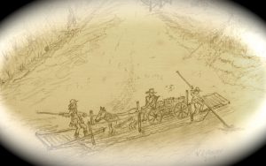
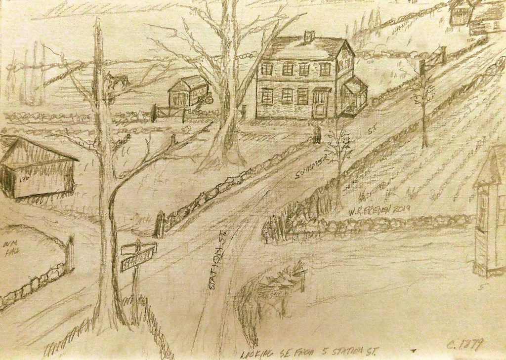
Sketch by Ray Freden
There is plenty to read of the early ferries, but details of the operation are slim. Whites Ferry’s details are non existent! So I have compiled some bits and pieces so you and I can take the Ferry from the landing and cross the river.
In the mid-1600’s, the Colonists found themselves continually searching new areas for their needs….timber for building shelters, fertile land for crops, grazing cattle and flowing water for power. They followed trails blazed by the Indians hundreds of years before the white man arrived . The Indians had names for things and places, but the colonists needed their own identification in their own language.
The main trail the Pilgrims used was the ”Greene’s Harbor Path”(Green)? Which wound it’s way from Plymouth to ”Greene’s Harbor”… named after an early settler.
The Pilgrim Trail began as a foot path used by the native Indians.
This trail later became The Pilgrim Trail that led to Rexhame. The trail also led to a crossing over the North River at Rogers Wharf, where the court ordered a ferry crossing.
September 1638, the Court ordered: “the building of two vessells or boats, one for carring of men and another for cattell, of the said North River, with a sufficient man or two to attend them.”
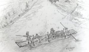
Sketch by W. Ray Freden
The first ferryman was Jonathan Brewster. There are no records showing that the ferry took the Brewster name. Three years later, 1641, the Ferry was sold to Mr. John Barker, Mr. Howell & other investors, with no records showing the Ferry being named Barker-Howell Ferry Service. In another sale in 1645, a Mr. Ralph Chapman operated the Ferry once again with no record of the Ferry’s name. The name ”Whites Ferry” is non-existent until 1712. All prior reference I find is, ”The Ferry at New Marsh Harbour” or ”the Ferry near the mouth of the river.” The Ferry was in operation for 74 years without a formal name until 1712, when Benjamin White took over the Ferry.
However, Cynthia Hagar Krusell’s history shows that Benjamin’s father, Cornelius White, was a ship builder with a yard and was running a ferry service there. Hence, ”Whites Ferry”.
I found this in L. Vernon Briggs’ ” North River Shipbuilding”:
“Benjamin White was a lineal descendant of Peregrine White and was born in August 1795. Cornelius White, great, great grandfather of Benjamin, lived at Whites Ferry. He was a shipbuilder and a man of considerable means in his day. He owned the Ferry boat at one time, it is said”. “it is said” ?
I have found some of the dates don’t jive ! So, do not take the dates I have used as accurate,
Ray’s painting depicts Rogers Wharf with a ferry tied along side.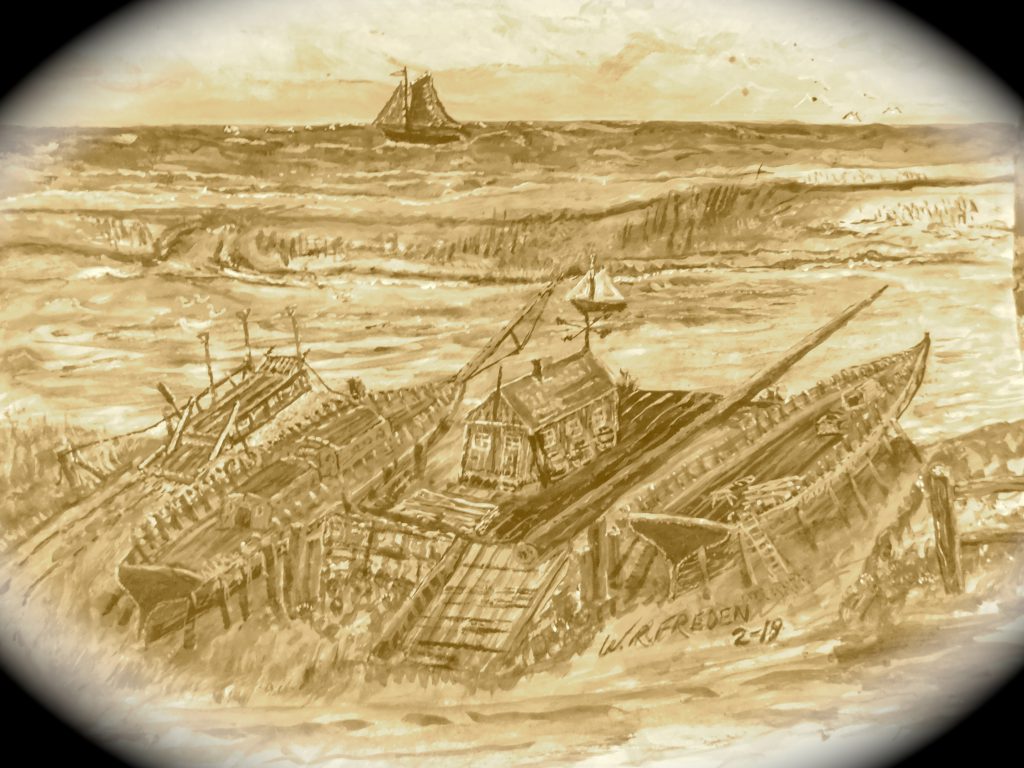
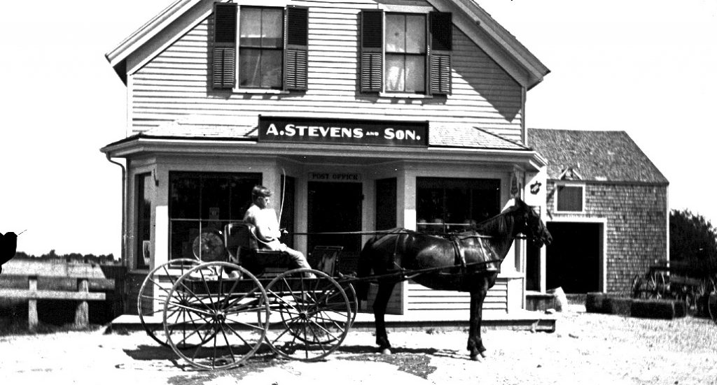
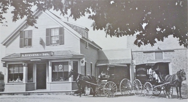
Whites Ferry, and the community of Littletown lived together as one village for nearly 250 years. The Keen’s, and Hall’s, built homes on Ferry & Elm St. and were considered “Whites Ferry” residents.
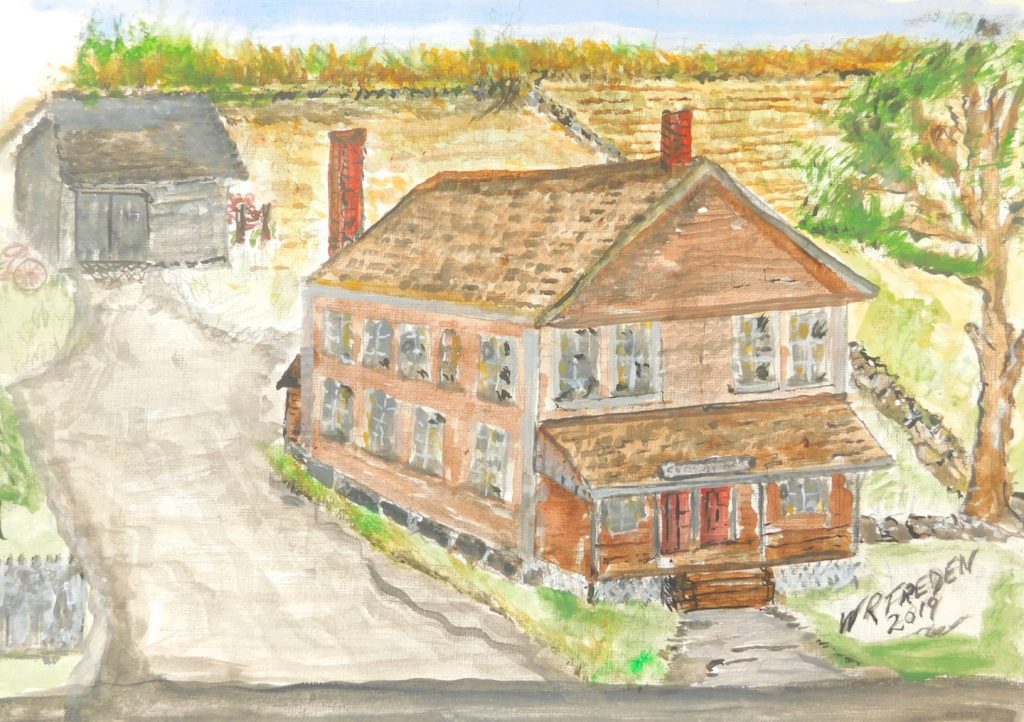
Barstow Carver, a shipwright at the White’s Ferry Yards, was referred to as a resident of Whites Ferry. His 1820 home was on Elm St, [110 Elm St., corner of Sea St.] which was the Freden residence for 38 years.
Whites Ferry was an ideal ship-building settlement. There were nine feet of tidal water and a short distance from the mouth leading to the ocean, a barrier beach peninsular for safe mooring with deep water off Pincin’s Bank ( the area of Little’s Creek mouth), a forest of virgin timber nearby, iron ore a few miles inland, and the village of Littletown, growing with industries favorable to the shipbuilding needs.
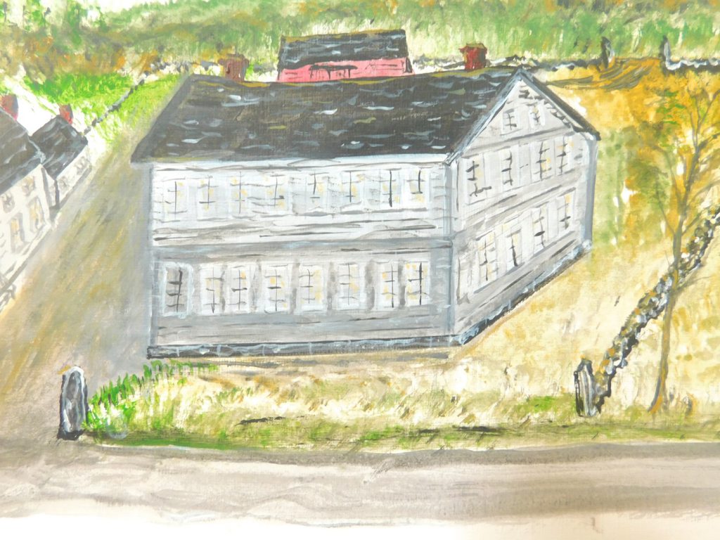
Lodging, stables, blacksmiths, sail-makers, farmers, shoe & boot makers were now a necessity . A ”B. shop” ( Blacksmith) is seen on an 1838 map of Marshfield beside the Hall’s shipyard on Ferry St. Notice on this 1838 map, John Ford Jr. puts Whites Ferry in the Hummocks ( Humarock). Others put the Ferry at the Rogers Wharf.
From L.to R., Ferry st., lower L., Elm St. intersecting with Ferry St.
No Sea St. & no Ireland Rd.
The lower Wharf is the Keen Yard, next above is Hall’s Yard & Blacksmiths Shop. Top, is Rogers Wharf. Across is Whites Ferry landing place in the Hummocks, ( Humarock).
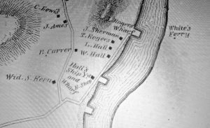
Looking North from the Keen Yard.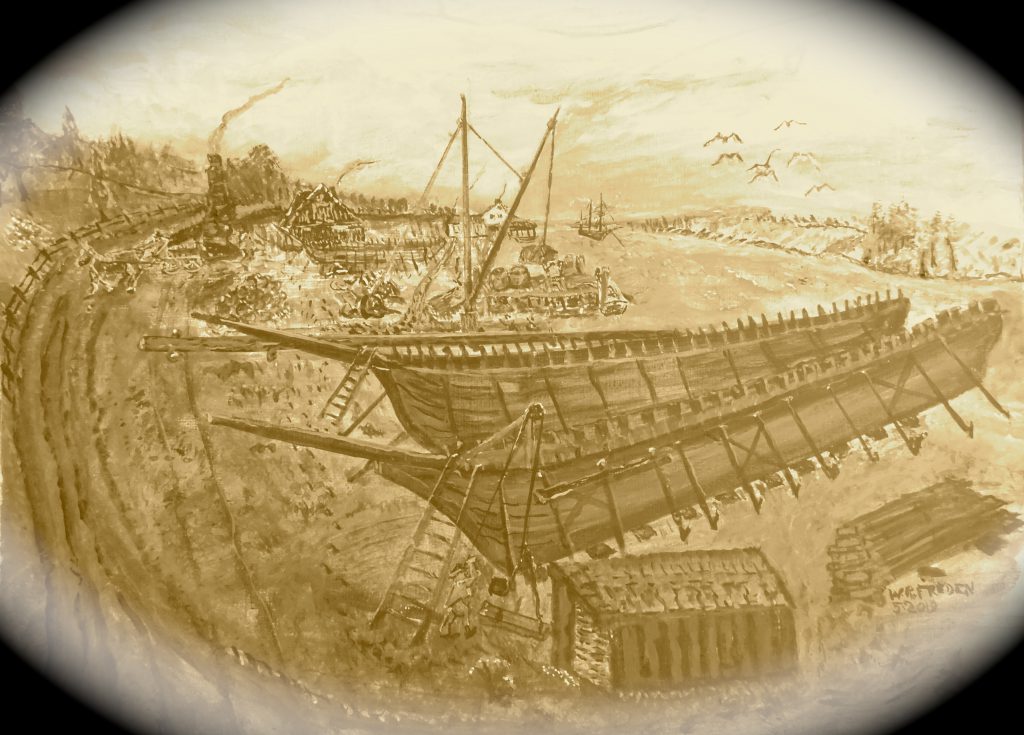
Painting by W. Ray Freden
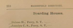
This ad was posted in an 1800’s street listing.
”Ferry” refers to Ferry St., ”S.V.” refers to Sea View.
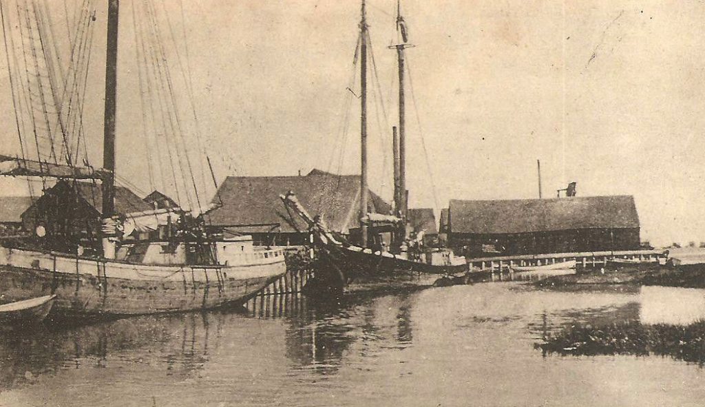
These yards, with their docks, allowed the farmers & tradesmen a means of shipping goods via packet ship from Whites Ferry village to distances far beyond horse and wagon, and with less costs. The wharfs of Whites Ferry became an important trade terminal coming and going.
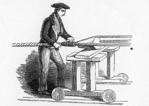
The Whites Ferry yards outfitted hundreds of ships built up-river. Cabinet makers finished cabins & trim-work, Shipwrights installed masts, booms and spars, and sail-makers rigged the canvas. Ropes and lines were fitted by Rope-makers, while blocks and pulleys were made by other woodworking specialist’s.
Early rope-making.
Are you ready for a river crossing? Be prepared, there is no cabin, poor seating and virtually no comforts. Lets say it’s early to mid-1800’s, 200 years ago! One just doesn’t show up and expect to cross at will. Being on a tidal river, crossing depended on the height of tide and currents. At low tide the ferry was usually grounded and it would take 6 hours before a full high tide. The ferry was stranded until enough water rose to float it.
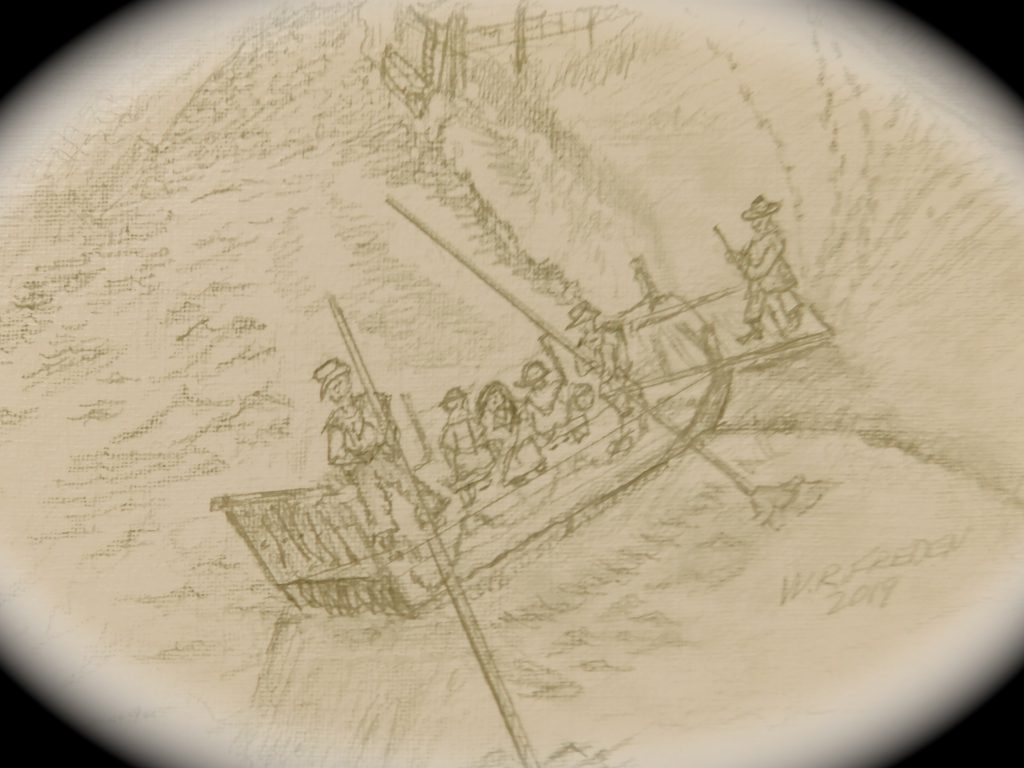
This sketch depicts a passenger ferry.
Notice the the polemen struggling with the tide and possibly unfavorable winds!
Most crossings would take place at the high tide approaching near noon-time. With a rise of about nine feet, That would be a vertical rise of 1 1/2 ft. per hour. It might take up to a 3-feet rise to float a loaded ferry, so with an arrival at 9 am to load up, it would be afloat about 11 am……that’s 1 hour before a high ebb tide. Loading a ferry could be a smooth and easy event, if one had some experience and common sense.
First, the horse & carriage. If this was a new venture for a young horse it could take quite some time. When the loading ramp is in the down position, the horse could be led up to and on the ferry. Some experienced horses could be driven on without a hitch, so to speak.
Once aboard, that doesn’t mean you have a happy animal. Many have to be restrained, once again taking up valuable time.
”Time and tide waits for no man”
Once the ferry is afloat, the ferry men would use long push-poles to move the ferry, pushing into the incoming tide. The current would carry them up-stream, and the pole-pushing would be at a 90º push across to the other side. Therefore, a crab-angle would be needed to achieve a predicted landing spot. As the tide slowed & ebbed near, the crab-angle lessened. The landing spot on the Hummock, the Scituate side, was a man-dug cove offering an undisturbed, free from current, landing location. Unloading would only take a few minutes.
Once across the river, the ramp would be lowered for passengers, livestock, and then horse, and wagon.
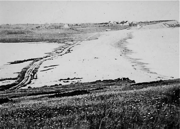
After unloading on the Hummock, it was nearly a two-mile trip northbound through a path of blown-in sand dunes that many times required a helping push of the wagon. This trip could take as long as two hours!
The cart-path crossing the barrier beach connecting Third & Fourth Cliffs before November 1898.
Quite often Packet ships could not get through the North River’s mouth due to the shifting sand bars. Sometimes it became necessary to travel to the Scituate Wharfs to meet-up with the re-routed Packets.
Most of the crossings were a fight against the tide. That was easy compared to the never-ending wind! A Southeast wind was bad, but a Northeast was brutal! These two directions affected Whites Ferry the most. A fully loaded Ferry was like a sail boat! A 20-mph wind was difficult to pole against and a 30-35-mph kept the Ferry at a standstill, or even backwards! Those caught by surprise might have landed a great distance away from the planned landing spot. Many Ferry crossings were postponed or canceled.
There were Ferry’s using cables which followed the same route to and from. I expect Whites Ferry was poled or rowed as I previously stated. That meant it could land on the Marshfield side at any convenient stopping spot. The areas from the north end of Ferry Hill to the now Ridge Rd. area ( The Keen’s Yard) provided different landing places.
It has been assumed that the crossing was at the site of the historic sign and followed the route of the Sea St bridge, That’s not necessarily true, as the returning ferries had nearly a half-mile of different landing locations.
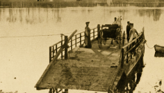
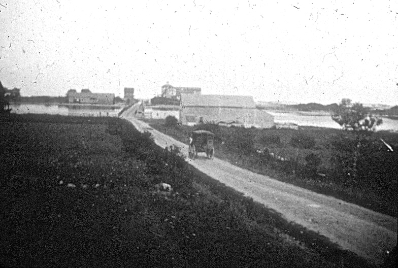
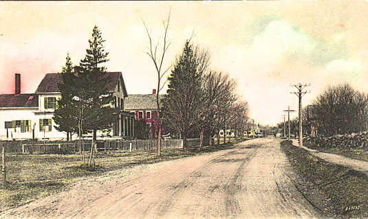
A horse and carriage traveling on the new Sea St. towards the Humarock Bridge. The Whites Ferry Stables, right center, corner of Ferry St.
c. before 1901.
That Ferry service lasted over 244 years, and was virtually unchanged…..that’s eight family generations! It’s a shame this historic place is overlooked. The area has been lost as an important contributor to the growth of Humarock. There is no recognition of the Keen Shipyard, the Hall Shipyard, and Rogers Wharf.
This small community within the Village of Sea View ( re-named from Littletown), about 1873, should be recognized and deemed a National Historic site!
A Brigantine built at the Hall Yard. 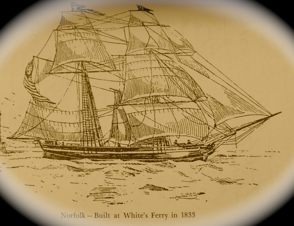
”A ship in port is safe, but that’s not what ships are built for.”
Grace Hopper.
Note:
Some names have been found spelled two ways, i.e. Keen/Keene.
Also, some of this blog has been theorized by me, however, most of the facts have been gleaned from L. Vernon Briggs’, ” History of Ship Building on the North River”
Any comments or corrections will gladly be received.
W.Ray Freden. SeaView, Marshfield 70 years.
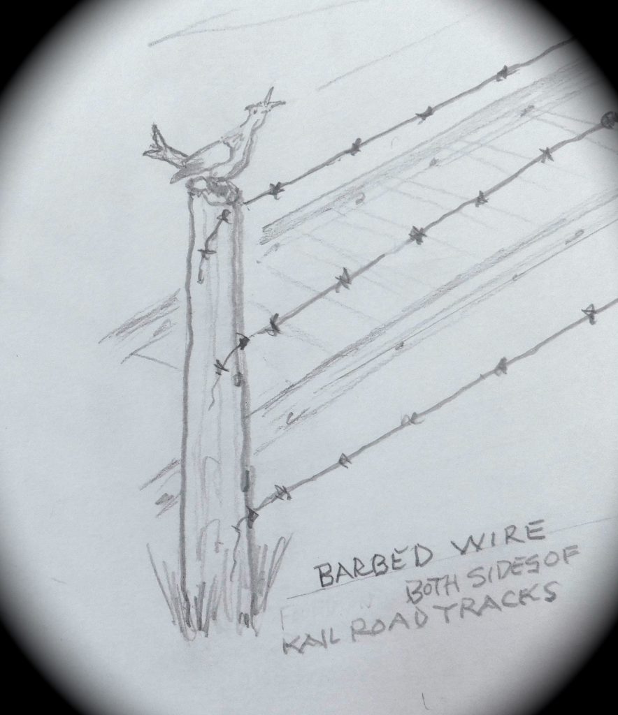
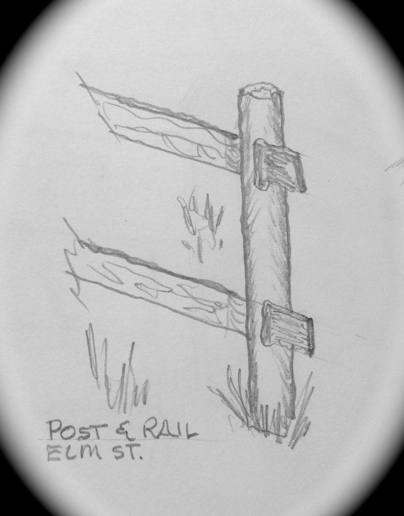
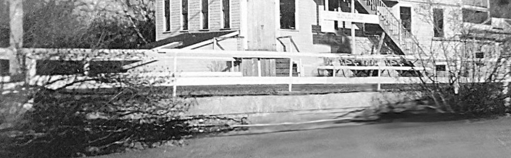
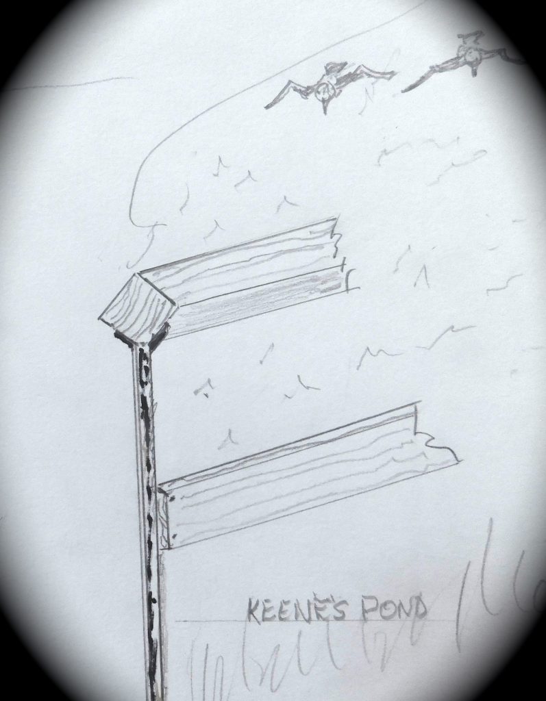
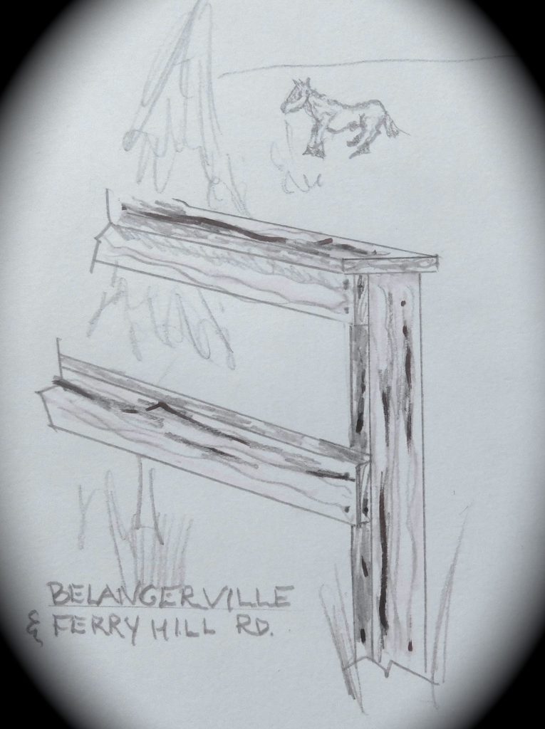
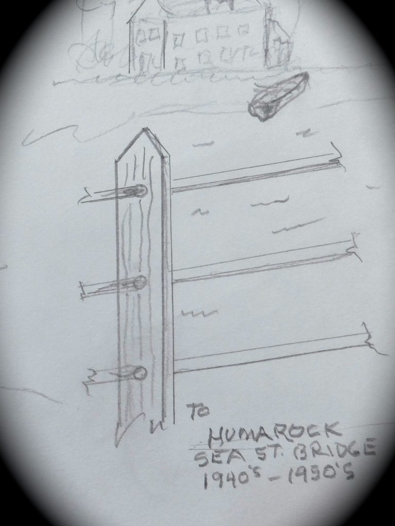
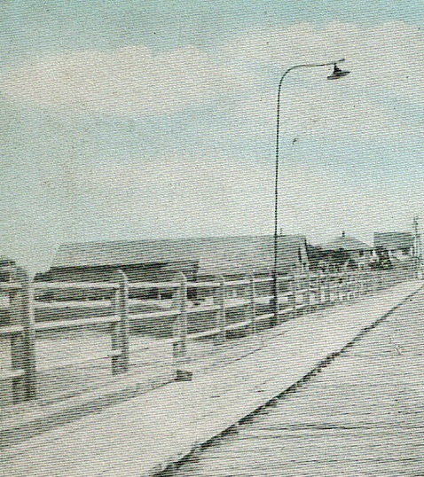
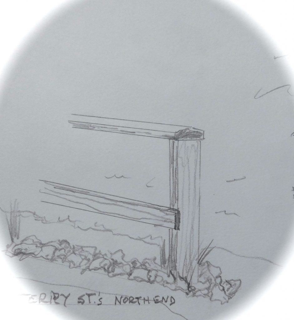
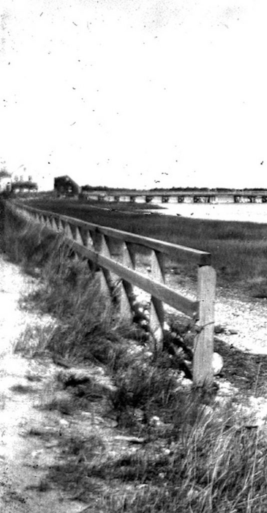
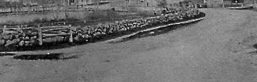

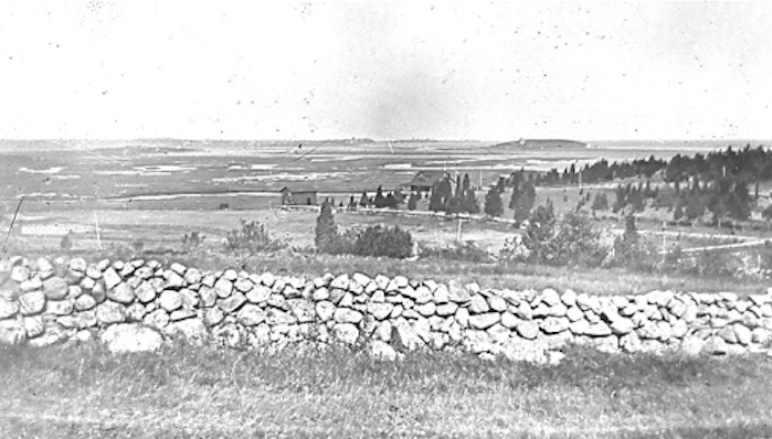
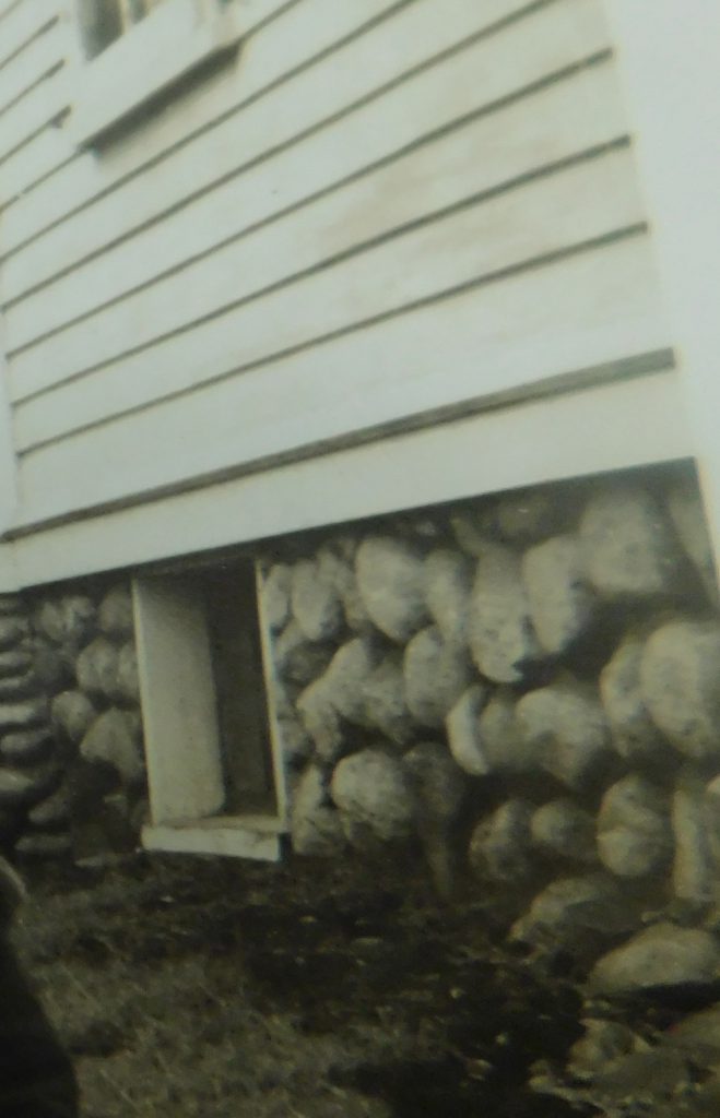
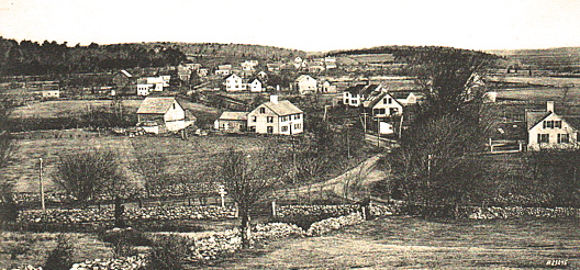
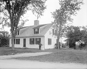 Photo taken about 1910.
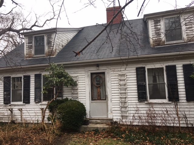
 Sketch by W. Ray Freden
 Paintings by W. Ray Freden
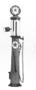 Gasoline .07 ¢ @ gallon.
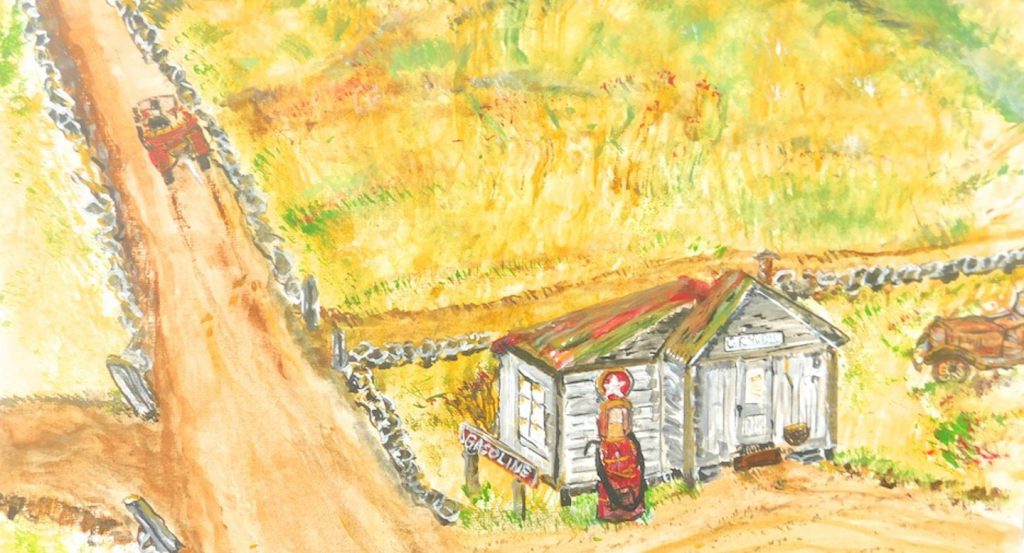
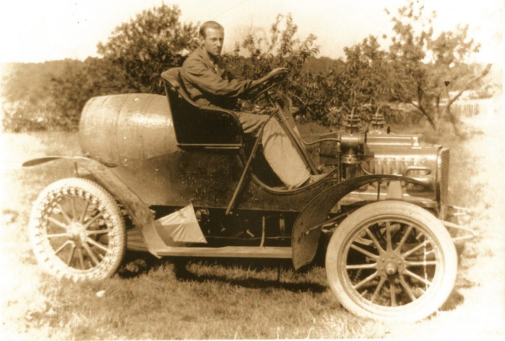 Charles (Charlie) Randall in his 1904 Rambler hauling gasoline to his Gas Station at 91 Summer St.